|
|

[HOME]
[FLYFISHING]
[ADVENTURES]
[2006
CALENDAR] [PHOTO
GALLERIES] [LATEST
NEWS] [TESTIMONIALS]
[CONTACT US]
In Yakutat: (907)784-3697 E-mail: ***CLICK
HERE***
Toll-free Message Only: 1-866-737-1123
2005
Hubbard Glacier Trip Photo Gallery
Click on
an image to bring up a larger version.
In July 2005, I had
the incredible pleasure of taking a couple on a 9 day kayak trip to the
Hubbard Glacier through the Russell Fiord Wilderness. There are
currently no outfitters permitted to operate in this area and although I
have always wanted to make this trip, I needed a
"reason" to put such a challenging trip together. That
"reason" came in the form of Doug and Lisa Levin. The
"soon-to-be" Levins take big kayak trips every year and had
decided to find a truly special trip for their honeymoon. They
looked at a map and spotted what they thought would be the most remote
and isolated place they could find. Doing a search for
"Russell Fiord", our web site popped up and they
contacted me about doing a trip for them.
As I already
mentioned, the Forest Service and Park Service do not have anyone
permitted to do trips here at all, although Alaska Discovery used
to do trips here years ago. We asked the government if we could do
this one time trip and to our surprise, the permit appeared rather
quickly. At the end of June, we hiked our solid fiberglass
double kayaks into the end of the fiord in preparation for the start of
our long trip. The Levins arrived in Yakutat (after a turbulent ceremony in Alberta, Canada), but Alaska Airlines lost one
of their bags, delaying the start of our trip by a day.
After packing a week and a
half's worth of gear and supplies into the fiord, we began our
paddle on a drizzly afternoon. The trip definitely had its
challenges, but overall it was an amazing experience for all of
us. I will type you though the whole trip in the hope that I can
convey at least a little bit of just how special this place is. My
"instamatic" digital camera isn't going to come close to
capturing the magic of the area. You'll just have to come and see
it for yourself someday. The fiord portion doesn't look especially
spectacular, but it was nonetheless. Anticipating the
tremendousness of Hubbard in the middle of our trip, we were all
blown away more by the remoteness and unspoiled solitude of Russell
Fiord. Enjoy the trip...
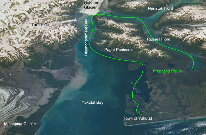
This was the route I proposed to the
Forest Service. We also paddled up Nunatak Fiord and back as you
will see below. Since the gap between Hubbard Glacier and Gilbert
Point was a big question mark, we were prepared for the
possibility of not being able to go all the way through. As it
turned out, "the Gap" was less dangerous than we
expected and was one of the smoothest parts of the whole trip.
Although I have flown over the area many times and power boated in
Disenchantment Bay, the trip itself was essentially blind.
We did not know what to expect, or where we would be
camping. We planned this as a "research" trip, an
opportunity to scout out campsites and to see if this is a trip we even
want to offer.
Day #1:
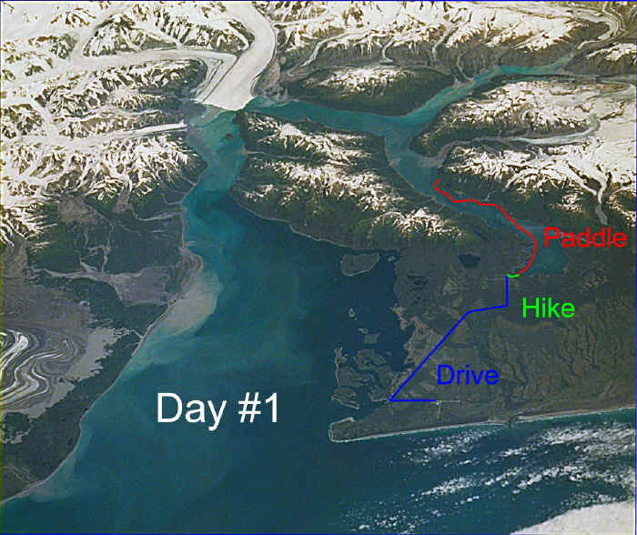
The drive from the airport is about 17 miles to the fiord
trailhead, mostly on gravel logging roads. The hike is only
about 2/3rds of a mile long. The first half is pretty flat with a
gentle rise as you climb to the top of the old glacial moraine
ridge. The second half drops down to sea level very quickly,
as you have to negotiate a jumble of boulders through dense
forest. At the bottom, you break out into the "bathtub
ring", a ring of dead trees and debris left from the two
glacial floods in 1986 and 2002. As you can see so easily in the
image above, Hubbard is in the process of closing off the
fiord, creating the largest glacially dammed lake on earth since
Lake Missoula covered much of Idaho and Montana tens of thousands of
years ago. These two recent closures were temporary, lasting
only a few months. Once sealed, the rain and melt water
causes the "lake" to rise, submerging the forest that
surrounds the fiord. When the dam was breached in 1986, the
outrush of water was the greatest flow of water on earth in recorded
times - more than three times the greatest maximum flood flow of the
Mississippi, although it lasted less than a day and the fiord
height returned to sea level. You can see many photos of the 2002
closure ***HERE*** on our
"Latest News" page if you scroll to the bottom.
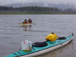
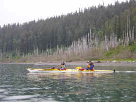
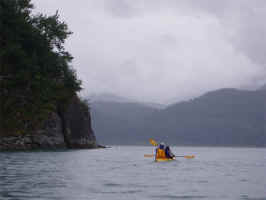
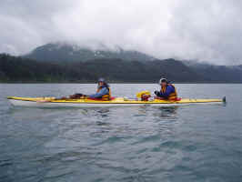
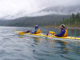
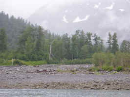
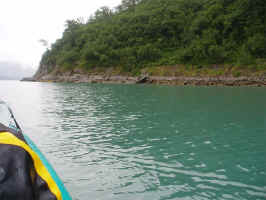
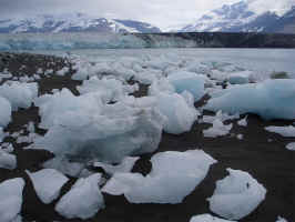
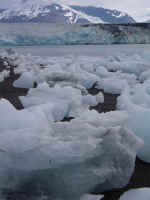
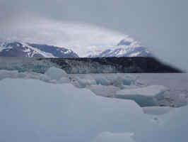
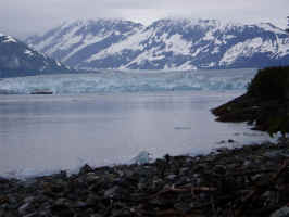
You can see the "bathtub ring" as we look back toward
shore in the middle photo.
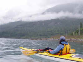
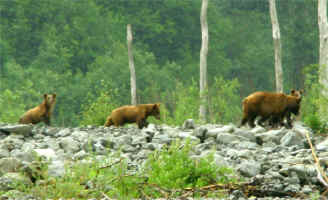
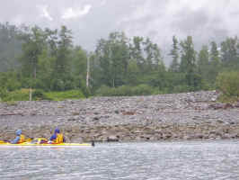
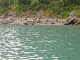
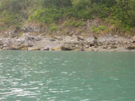
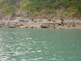
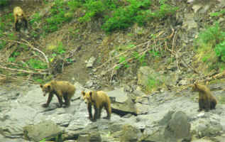
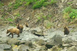
These are the first brown bear we encountered on the trip - the
first of 10 on our first day. A sow with three cubs foraging at a
salmon stream on the east side of the fiord.
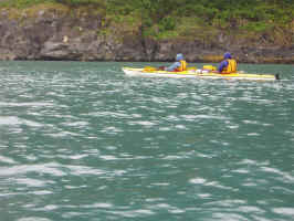
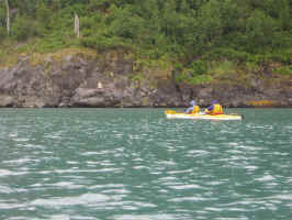
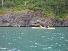
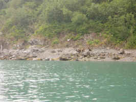
This large stellar sea lion managed to maroon himself on top of a
rock. The tide deposited him there and there he remained for the
entire day.
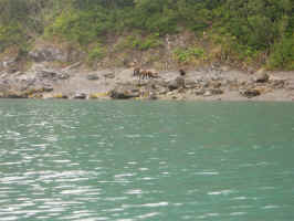

The second family of brown bear - another sow with three cubs.
She wasn't visible when we arrived, but boy could we hear her
giving the kids a good tongue lashing. She wasn't happy about
being halfway up the hillside as we approached, but once she was
with her brood, they all settled down and we had a nice view from
the safety of the deep water. The first photo below is where we
saw a pod of whale off in the distance. They were too far away to
see what species, but their blows were clear. The drizzle
had stopped and the sound traveled forever. Their blast of water
and slap of their tail flukes on the water sounded as though they were
right next to us. We did paddle through a couple pods of porpoise
along the way, but no photos were taken. Hard to capture a
rising porpoise when you have no idea where they will surface and with
that wonderful delayed shutter on my digital camera...
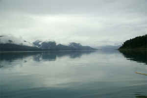
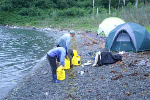
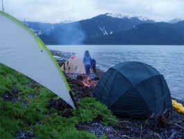
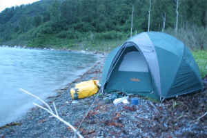
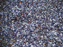
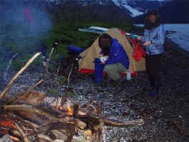
Campsite number one. There were two bears here as we
approached, but they were never seen again after we landed.
This was the buggiest place I have ever seen and that means a lot coming
from someone who has spent most of his life in Alaska! Doug and
Lisa had their space suits to protect them, but I was all
theirs. I didn't actually get a single bite, but at times
you couldn't see through the swarm. We'll definitely not use this
spot next time... The fresh beer-battered halibut and home made
cole slaw tasted great after our first long day of paddling. The
ridge of crushed mussel shells made
for a surprisingly soft bed, although I suspect that was the
source of bug hell. A nice bon fire helped to knock down the bugs
and deter any furry critters from investigating our camp.
Day #2:
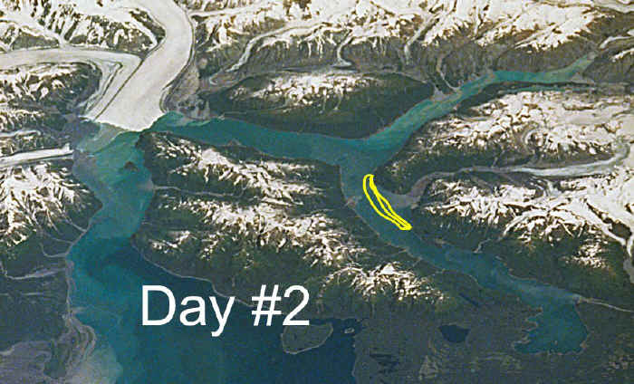
We were paddling blind,
not knowing the exact geography ahead of us. My hope was that the
corner we couldn't quite see around was the entrance to Nunatak
Fiord, but alas it was just Seal Bay - about 3 miles shy of
Nunatak. Our plan was to paddle up Nunatak Fiord and back
today, but with the added mileage, we knew that wasn't going
to be possible. Instead, we shuttled the campsite around the
corner, so we'd have a fresh start the next day. Next
time, I would like to spend a day exploring Seal Bay and the river
valley that drains from Hidden Glacier.
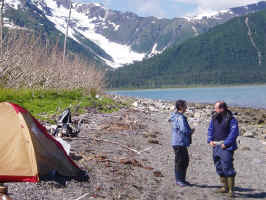
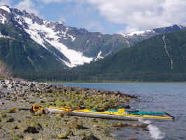
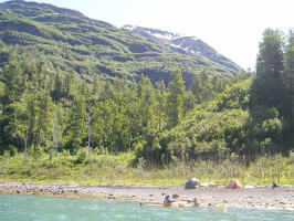
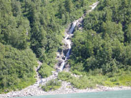
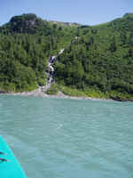
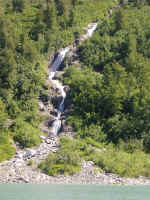
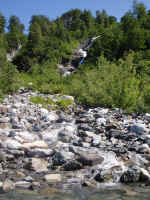
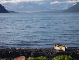
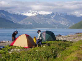
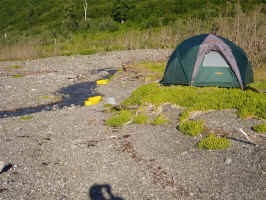
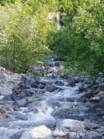
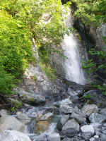
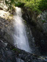
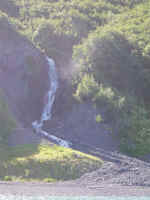
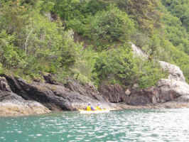
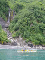
"Honeymoon Falls" as we named it held our first black bear of
the trip. He disappeared long before I was able to get my camera
ready. I was a little snap-happy with all the gorgeous waterfalls
early in the trip.
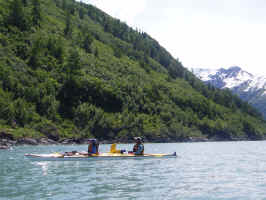
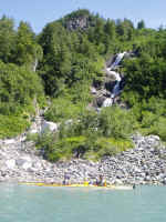
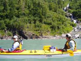
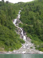
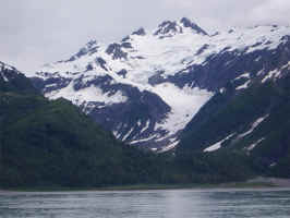
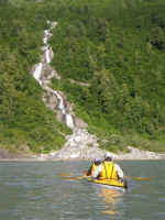
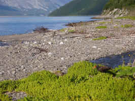
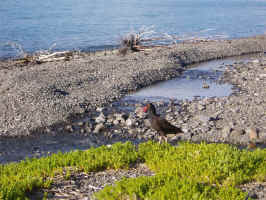
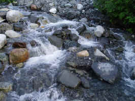
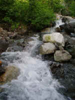
Right at the point, there is a
wonderful little stream and tremendous cascading waterfall.
Hubbard just comes into full view, even tough we are still more
than 10 miles away. Hard to imagine a more breathtaking location
to spend the night, although it was still pretty darned
buggy. Two black oystercatchers kept very close eye on our
movements. These are the strangest birds! Obviously they
were nesting close by, but we had no idea where. Once they
overcame our presence, they became quite friendly, in a
really bizarre way. In the flowers below, the first one
looks up Nunatak Fiord, while the second looks up Russell Fiord
with Hubbard in the background.
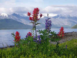
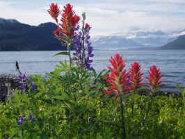
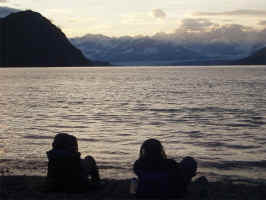
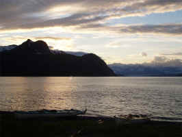
Watching the sunset behind Hubbard - in
their space suits. We had T-bones and the smoke from the fire kept
my blood supply safe once more.
Day #3:
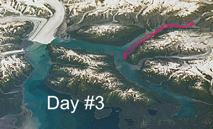
The LONG day! My
estimation was that this day covered about 27 miles. Too long to
do in a single day next time. Throughout our entire trip, it
poured in Yakutat, while the weather was perfect for kayaking on
the fiord. Every other day was clear and sunny, with just
mist or very light rain on the other days. We never packed up a
wet tent. Today, we had fog and very calm water.
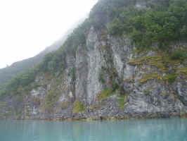
Unfortunately, the fog obscured the hundreds of small hanging
glaciers that rim the fiord and the sheer cliffs that tower over
us. Nunatak is a recently exposed landscape, so much of it
looks like a barren moonscape (well, moonscape with snow and ice
and water...).
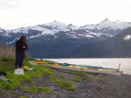
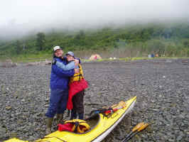
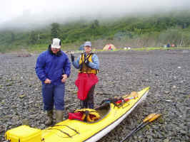
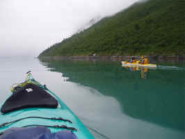
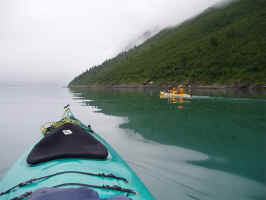
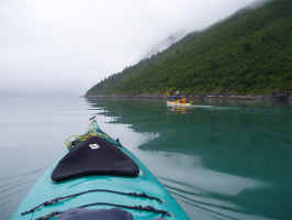
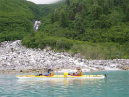
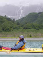
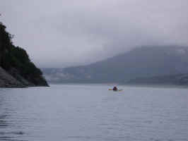
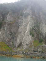
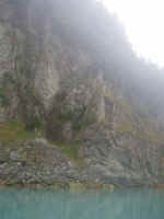
A brief glimpse of what was above our
heads. Nunatak is well worth exploring, but not as the
rushed single day trip we did. Next time, we'll spend the
night at the head of the fiord and investigate the three glaciers that
carved it.
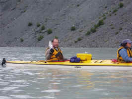
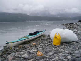
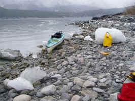
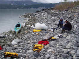
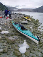
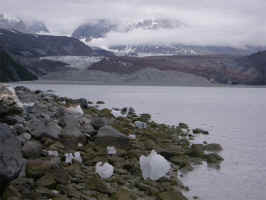
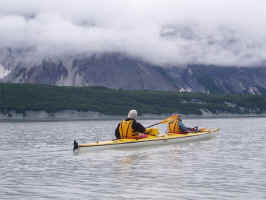
An all-too-brief stop for lunch,
before paddling back to our campsite at the "Y". This is
the Art Lewis Glacier in the middle two photos.
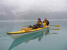
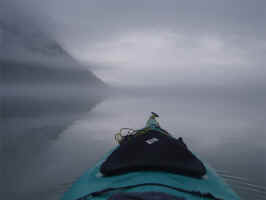
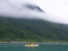
The fog descended to the waterline and
the fiord was like a mirror. What a day it was, but we were
all exhausted as we landed at camp. Tomorrow would be Hubbard...
Day #4:
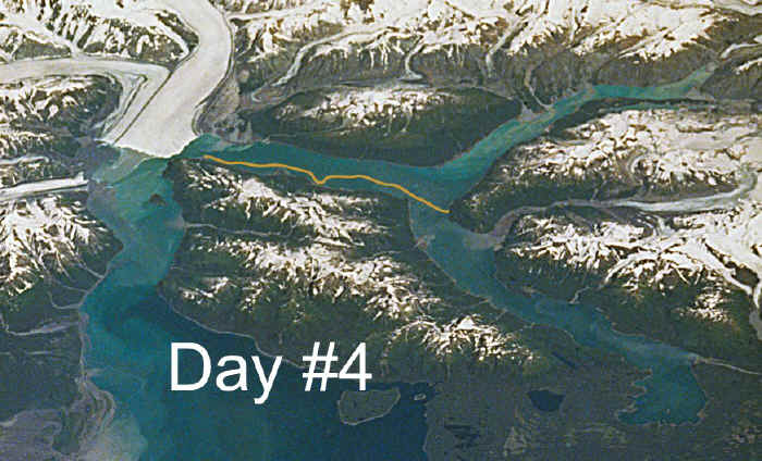
Another beautiful sunny
day. We packed up our camp and after walking all over the beach
for two days and nights, we found out why the black oystercatcher
family was so attentive to our every move. My footprint was within
just a couple inches of smashing their nest, but fortunately all
was OK. Nothing broken, in spite of carrying load after load
over the eggs to the kayaks.
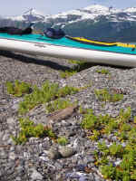
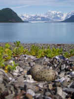
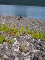
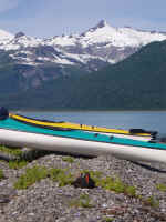
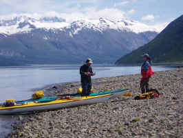
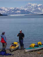
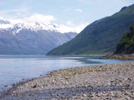
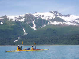
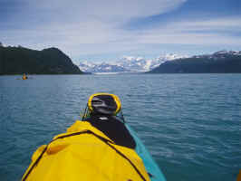
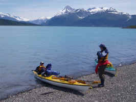
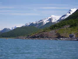
Hubbard looms ever larger in the
distance as we close in on it. The cliffs and rocks show the scars
of the glacier carving its way through the land. A huge brown bear
saw us coming and spent a considerable amount of time climbing the cliff
before us. It was astounding to watch him climb the sheer cliffs
and disappear into the trees, then to follow his progress as the
trees and branches shook before him. Our first and only sign of
other humans thus far was an airplane that flew over briefly as we
neared the glacier.
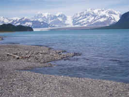

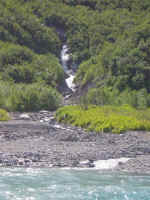
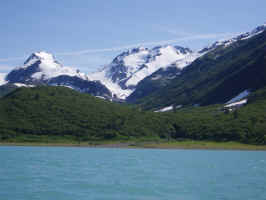
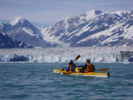
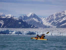
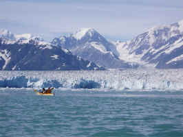
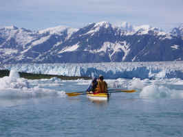
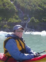
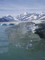
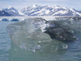
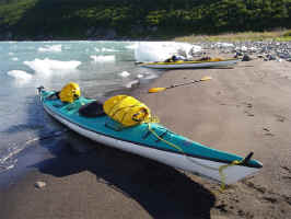
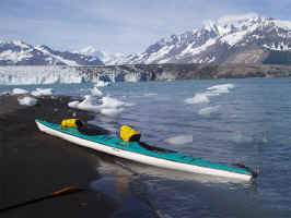
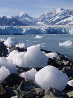
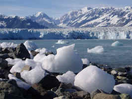
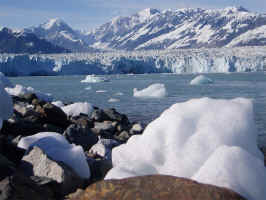
In the mighty glacier's shadow, we
hit shore and investigated where to put our camp. Hubbard is the
largest tidewater glacier in North America longest valley glacier
- fastest advancing glacier in the world! There was a massive
calving just after we landed and yes! before we had pulled the
loaded kayaks out of the water. One slipped off shore and I had to
wade in after it. OOPS!
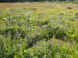
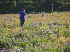
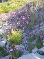
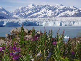
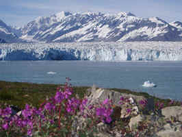
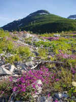
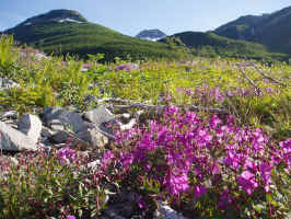
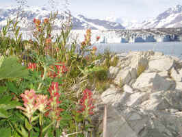
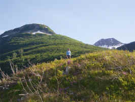
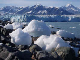
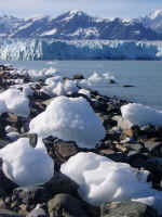
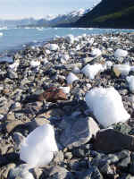
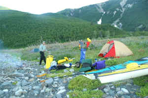
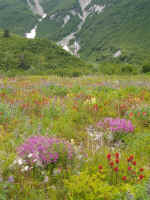
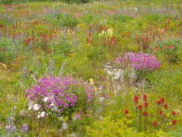
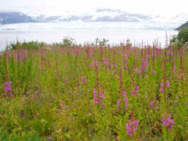
No matter how hard I tried, I just
couldn't capture the incredible colors of the wild flowers here.
There is a very wide gulf between cheap digital and Kodachrome...
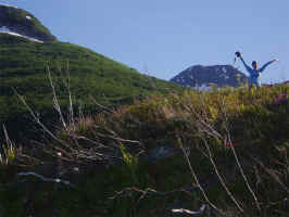
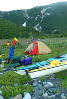
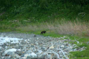
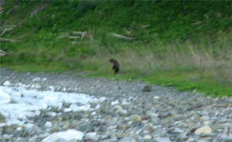
A small brown bear came to visit
briefly. Otherwise, we just had the company of the
thundering and groaning glacier.
Day #5:
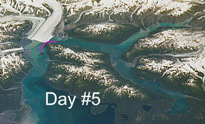
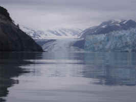
The Gap... In
2002, there was no gap! This year, there was a gap of
about 1/2 mile wide. Sounds like a lot, but when you are
between 500-600 foot high ice and the rocky cliffs of Gilbert
Point, your perspective is shot. Although the gap between
Hubbard and Gilbert Point fluctuates dramatically, the entire
glacier is gradually marching forward to make another closure. One that
will seal the fiord off completely and overflow the Situk River.
For the time being, we have a gap that is wide enough for us to
paddle though safely, even though it looks scary as hell.
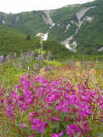
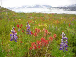
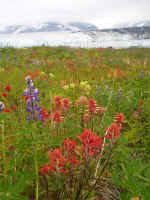
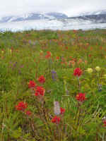
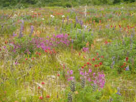
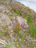
Yah, I still couldn't capture the
dazzling color of the wildflowers. Sorry.
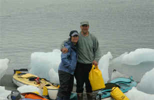
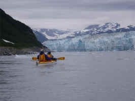
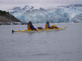
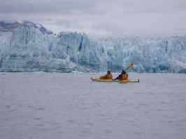

We planned this crossing out
carefully. The early AM tide was a big 11 footer, but our
afternoon tide was a tiny 7 foot. Only about 4 feet of difference
between high and low, so as little tidal surge as possible.
We waited and watched as the ice flow passed, then right at the
top of the tide, we headed out to meet our fate. We spent an
hour and a half paddling like crazy just to stay in place, since
it took that long for the tidal surge to change directions. Once
it did, we shot through the gap in moments.
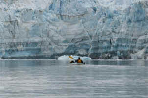
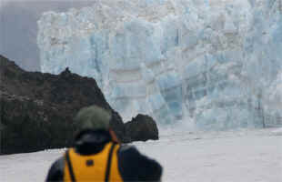
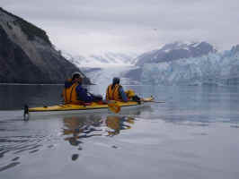
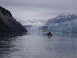
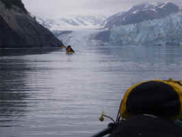
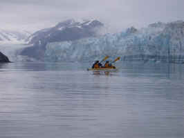
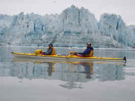
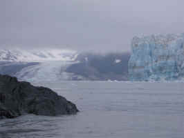
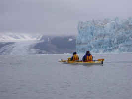
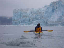
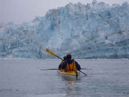
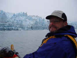
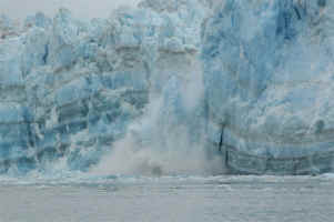
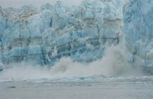
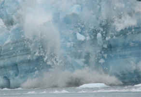
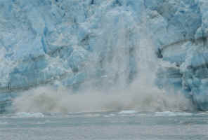
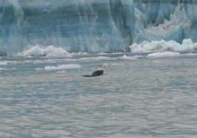
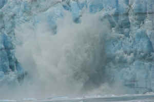
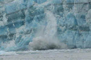
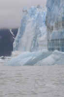
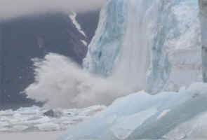
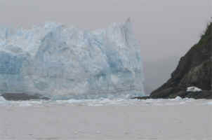
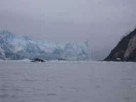
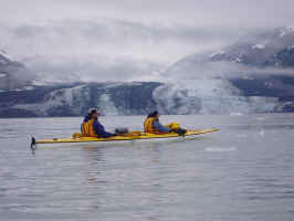
Once on the other side, we could
relax and enjoy the unbelievable show of deafening sound and tumbling
ice the size of city skyscrapers. Remember, this wall of ice
before us is 500-600 feet high ABOVE the waterline.
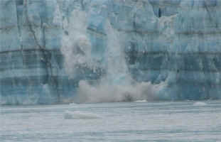
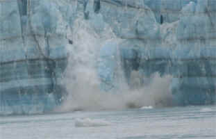
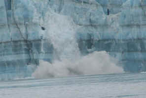
The outbound ice flow was upon us,
signaling our time to leave. Well, that and our bladders
were about to burst. We made our way toward "Egg Island"
to start dinner and set up camp.
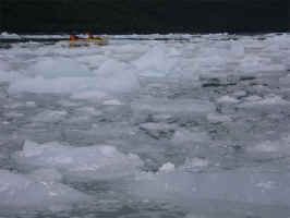
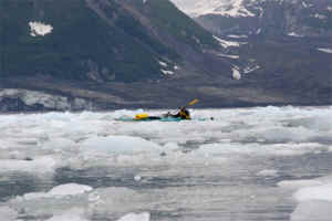
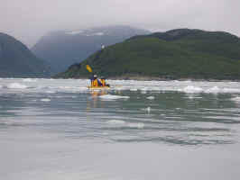
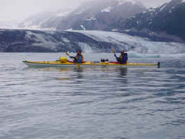
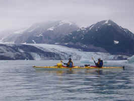
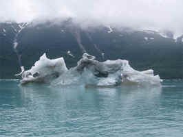
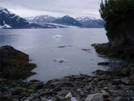
As we paddled in toward the
island, it was breathtakingly still and quiet. A sea otter
played about the cove as we approached, while a porpoise
repeatedly surfaced among the bobbing bergs. It was the most
amazing experience to listen to the breaths each time the porpoise
inhaled and exhaled. One of those moments that will stay with you
for the rest of your days. Keep in mind that I get to have a lot
of those kind of days considering where I live and what I do, but
this was a really special one.
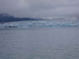
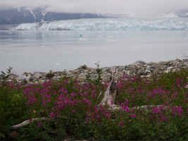
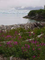
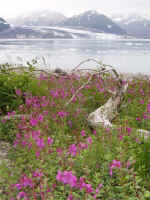
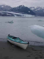
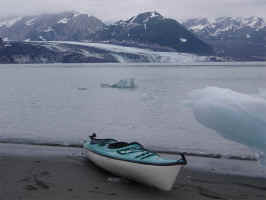
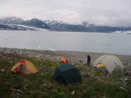
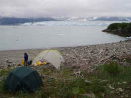
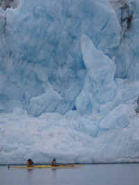
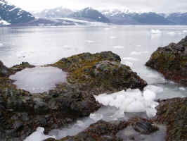
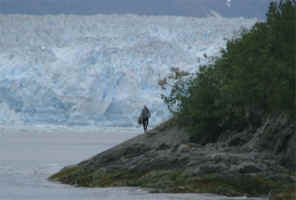
The view from camp is of Hubbard Glacier
on the right and Turner Glacier on the left. Turner would be a
worthy destination in itself if not for being right next to
Hubbard. It is as big as the largest glaciers in Glacier National
Park, but Hubbard's face is 10 miles wide and taller than
the Space Needle...
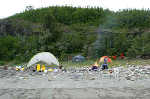
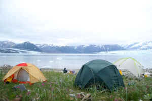
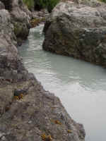
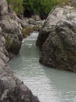
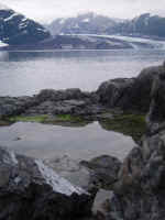
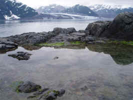
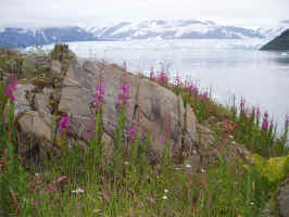
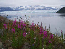
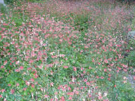
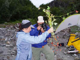
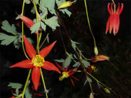
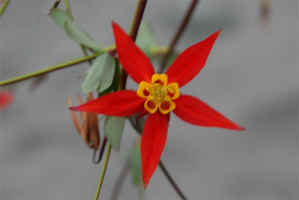
I went exploring the island to give Doug
and Lisa a little time alone (well, it is their honeymoon after
all!). Again, the wildflowers were spectacular and my camera
didn't capture them well.
Day #6:
This is where the lost
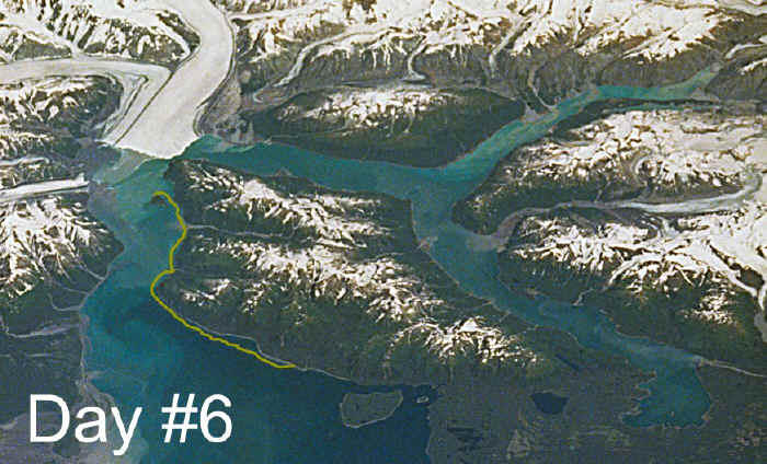
"airline" day really hurt. In the bay between Turner and
Hubbard, there is a pod of Beluga Whale that spend the summer
every year. It would have been wonderful to have the time to
explore this part of the bay and get a much closer view of Turner,
Henke and the other glaciers of this incredible area. Oh
well. Next time.
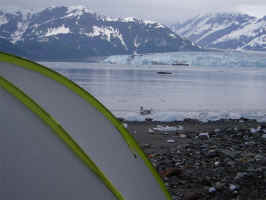
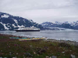
We woke to the blight of a cruise ship
in our view, but it was amazing to see this floating city so
dwarfed by Hubbard. It was a painful reminder that our trip was
coming to an end and we had left the "wilderness". We
were no longer completely alone.
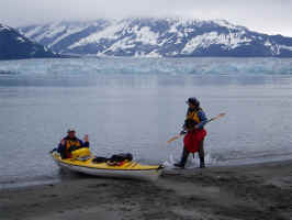
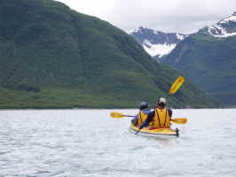
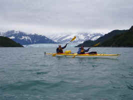
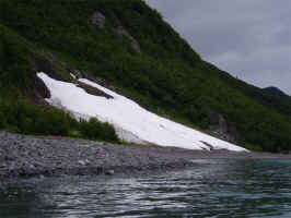
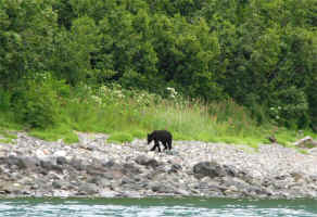
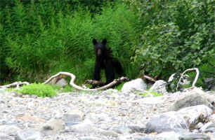
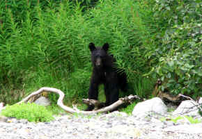
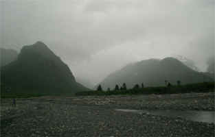
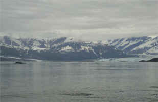
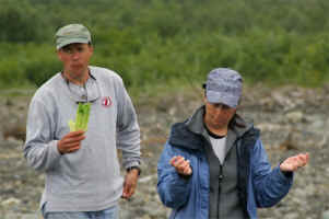
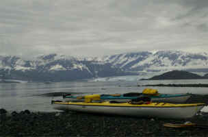
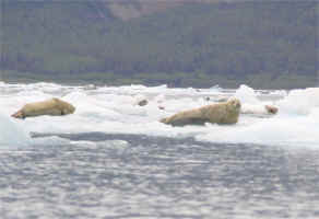
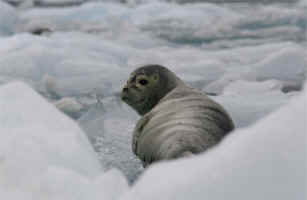
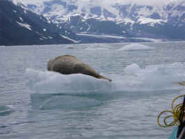
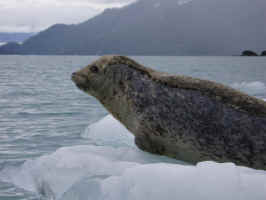
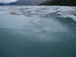
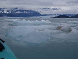
Most of these photos speak for
themselves. The July snow down to sea level, the black bear
foraging along the beach, the seals hauled out onto the ice
flow, the depth of the iceberg as it disappears into the water's
turbidity...
Rounding Point Latouche was a high point
of the trip for me. Expecting the remaining days to be pretty
anticlimactic after Hubbard and paddling the gap, I was really
surprised by the spectacular scenery as we rounded the point and entered
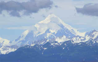
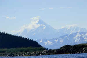
Yakutat Bay. Over our shoulder, 18,008 foot Mt. St. Elias
appeared, as well as the horizontal expanse of alternating bands
that is Malaspina Glacier.
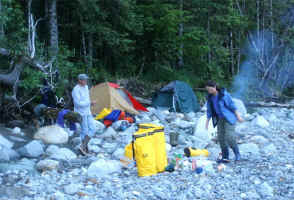
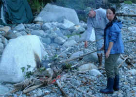
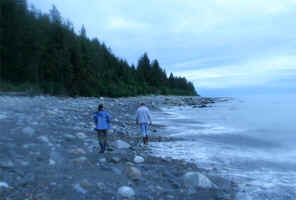
Day #7:
After yesterday's drizzle and
overcast, we had another crystal clear day on the water.
Doug and Lisa picked enough early blueberries for me to make
pancakes. We packed up and headed out in the shadow of Mt. St.
Elias.
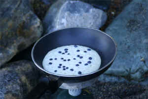
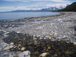
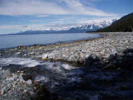
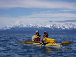
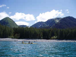
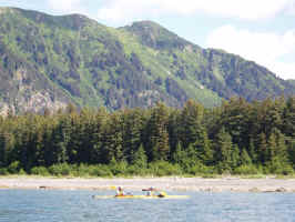
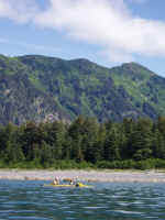
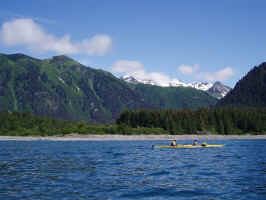
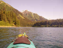
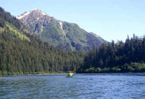
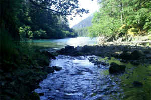
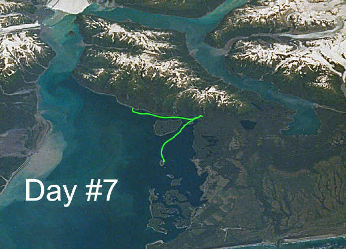
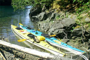
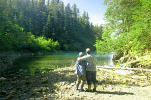
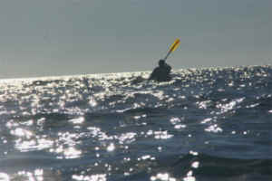
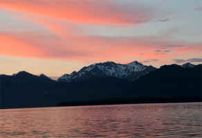
The morning was calm and still. We
paddled into Chicago Harbor for lunch and a brief rest, then
headed back out into the bay to find a west wind had come up.
These were our only rough waters to paddle in the entire trip and made
for a tiring crossing to the island for our last night. With over 100 miles behind
us, it was tough battling the waves toward our last evening on the
water. It was still a great day though.
Day #8:
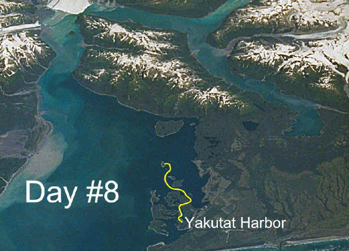
By this time my camera
battery was dead. Doug had a couple pictures of our last camp and
a photo of me as we paddled into Yakutat's boat harbor.
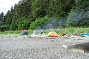
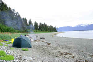
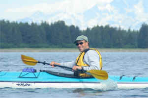
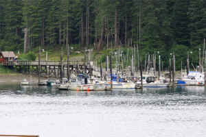
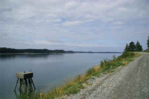
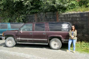
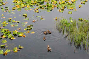
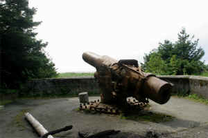
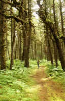
Lastly, a few photos around town
before Doug and Lisa flew off to spend the rest of their life in marital
bliss.
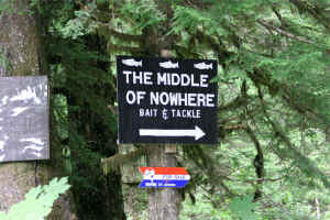
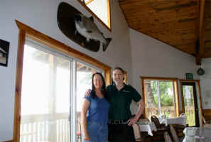
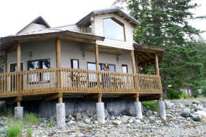
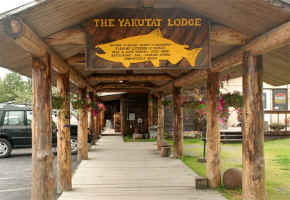
The trip was far from
perfect, although we all learned a ton from the experience.
It was a very LONG paddle and I don't think I'm up for offering it every
year, but every other year sounds just about perfect. I
bring people into "my home" because it is a pleasure to share
it with a few people who really "get it". If you would
like to see this incredible place and aren't a complete twit, let
me know and maybe we can put something together. It was definitely
worth the effort!
-Bob Miller
Return
to 2005 Photo Gallery Directory Page

World-class Flyfishing
in the Alaskan Wilderness
http://www.italio.com
Italio River
Adventures
P.O. Box 210
Yakutat, Alaska 99689
(907)784-3697
1-866-737-1123
***E-mail***
www.italio.com
Site Map:
Welcome
Page
-
Home
-
Flyfishing Overview
-
Salmon
- King, Sockeye,
Pink, Chum and Coho
-
Trout & Char
- Dolly Varden, Sea-run
Cutthroat, Rainbow
-
Steelhead
- Sea-run Rainbow Trout
-
Deep-sea Charters
- Halibut, Ling Cod,
Yellow Eye
-
The Rivers
- Old Italio, Middle
Italio, New Italio, Akwe, Dangerous and Back Rivers
-
Fly or Spin
-
When are the Fish Running
-
Adventures Overview
-
2006 Calendar
-
Photo Galleries
-
Latest News
-
Testimonials
-
Contact Us
flyfishing,
fly fishing, fly fish, flyfish,
alaska
flyfishing,
alaska
fly fishing,
alaska
fly fish,
alaska
flyfish, silver salmon, silver,
coho salmon, coho, sockeye salmon, sockeye, chum salmon, dog salmon, chum,
pink salmon, humpback salmon, humpy, king salmon, king, chinook salmon,
chinook, wild salmon, sea run cutthroat trout, sea-run cutthroat, sea run
cutthroat trout, cutthroat trout, cutthroat, rainbow trout, rainbow,
steelhead trout, steelhead, dolly varden, char, dolly varden char,
alaska, yakutat, yakutat
alaska, italio, italio river, italio lake, italio falls, middle italio,
middle italio river, old italio, old italio river, new italio, new italio
river, lower italio, lower italio river, akwe river, akwe, sport fishing
alaska, sport fishing, sportfishing, sportfishing
alaska, dry flies, alaska dry flies, dry salmon flies, top water, topwater,
topwater flies, top water flies, pink pollywog, pink pollywogs, bass
poppers, purple egg sucking leech, egg sucking leech, flash flies, flash
fly, alaskan wilderness outfitter,
alaska
wilderness outfitter, wilderness
outfitter, outfitters, outfitter, flyfishing guide, flyfishing guides,
salmon fly fishing guide, alaska fly fishing guide, fly fishing guide, fly
fishing guides, fly fishing instruction, flyfishing instruction, fly
fishing lessons, flyfishing lessons, brown bear, brown bears, alaska bear
photography, wildlife viewing, wildlife photography, wader fishing
alaska, wader fishing, river floats, river rafting, hiking, scenic
flights, southeast
alaska, remote lodge, remote lodges, wilderness lodge, wilderness lodges,
wilderness lodging, wilderness fly fishing, wilderness flyfishing,
alaska
wilderness, alaskan wilderness,
fly out fishing, fly in fishing, wilderness, adventure, small stream
fishing
|


